Course
Waterworld Futures – Group project of the second generation of Urban Studies interdisciplinary students
Institution
Urban Studies, Deltalab Center for Urban Transition, Architecture and Urbanism, University of Rijeka
Date
November 2025 – April 2026
Students
Tomislava Blatnik, Heda Čabrijan, Darija Dobrila, Marin Nižić, Ana Orlić, Bruno Stemberger, Sara Stojaković, Branka Tokić, Sanjin Vranković and Borna Žganec
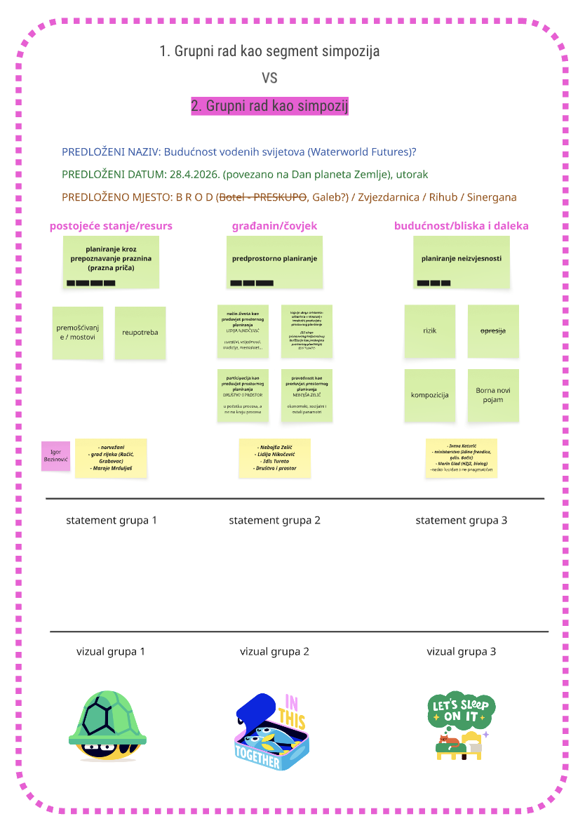
As part of the extended last semester of the Urban Studies post-graduate specialist program, the students developed a group project under the guidance of Jana Čulek. The group course consisted of a series of two-day workshops held between November 2025 and April 2026, during which students gradually developed a collective project through the distillation of their individual thesis research. By mapping their individual interests and identifying shared goals, actors, and spatial concerns, the students collaboratively constructed an interdisciplinary lexicon that became the basis for both an anti-manifesto, defining what they sought to challenge or avoid within the context of Rijeka, and an action plan outlining concrete steps toward their ambitions across 1-, 5-, and 10-year timelines. These processes were ultimately synthesized into three overarching themes for the symposium, around which the students developed curatorial statements, invited external experts, and organized panel discussions with the aim of creating a wider interdisciplinary conversation capable of extending into both spatial practice and policy.
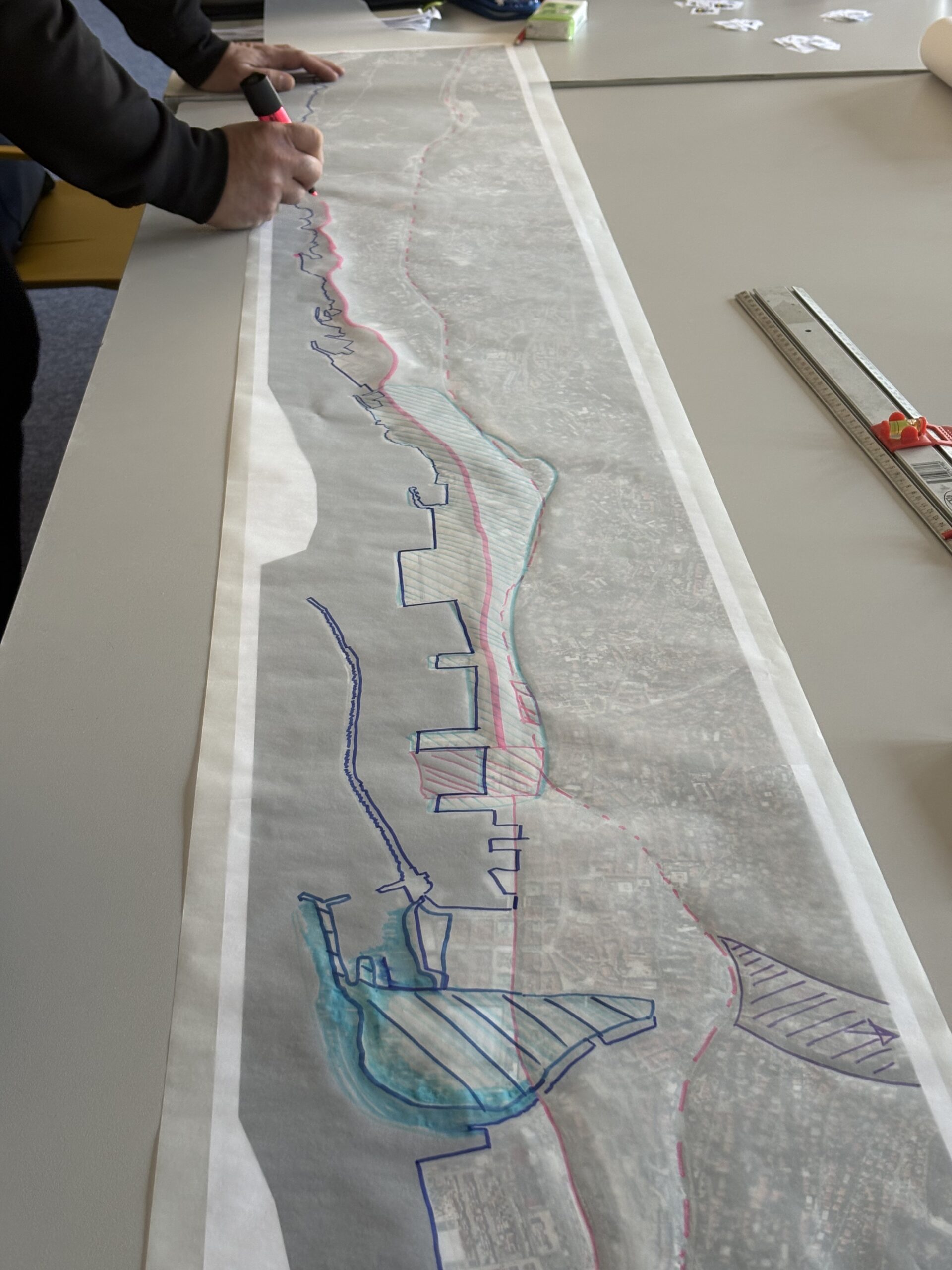
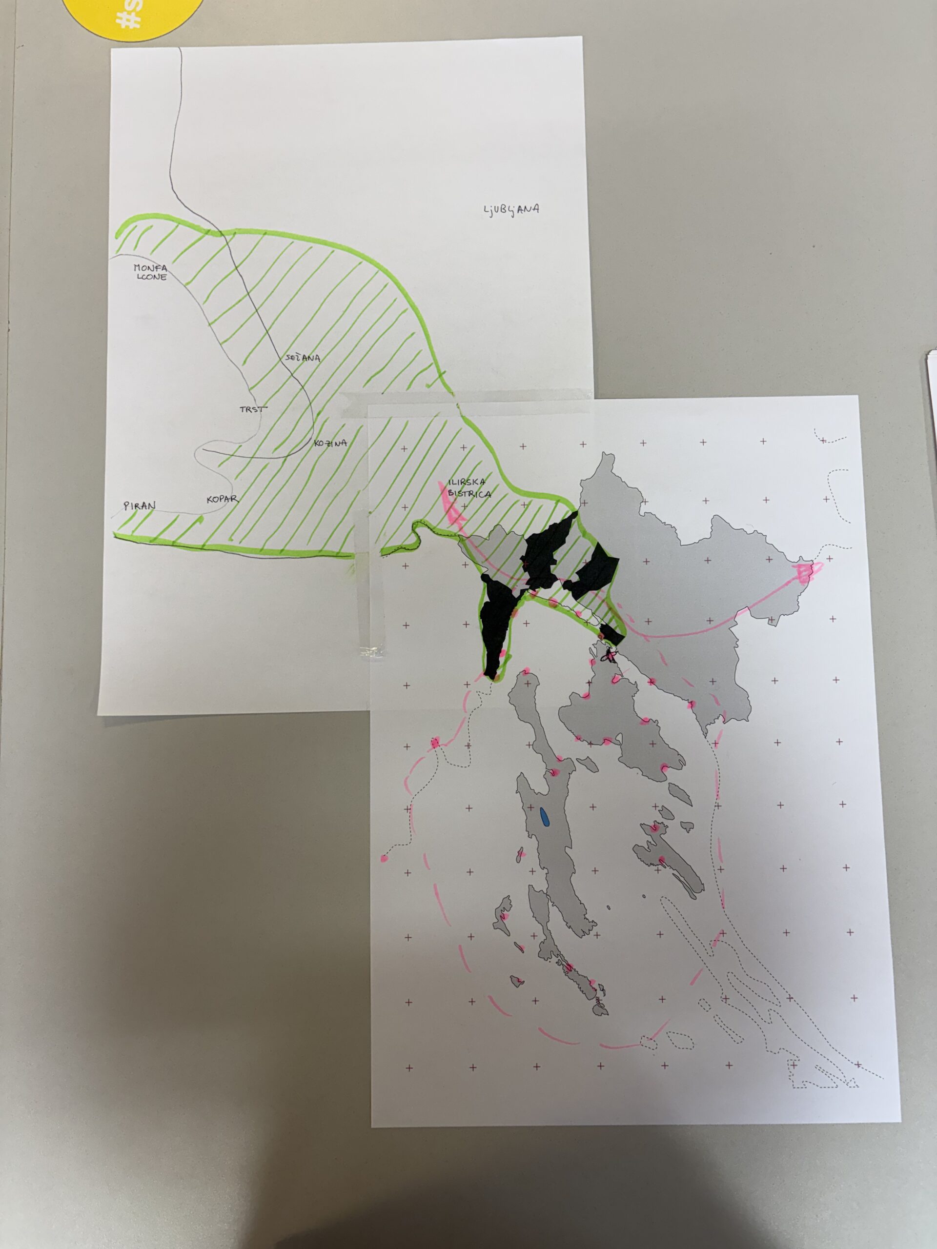
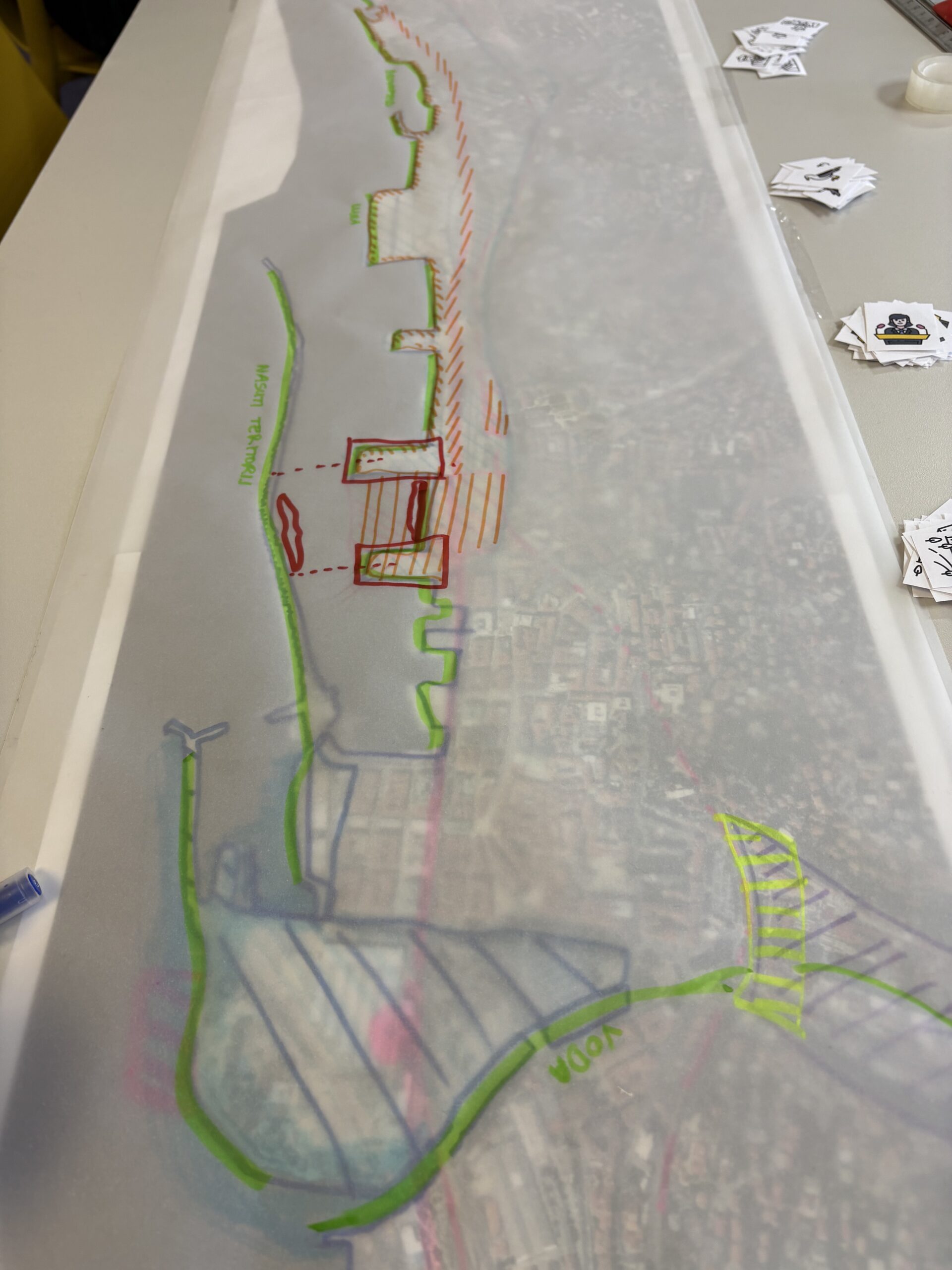
The goal of the collective workshops was to conceive and define a shared project, meaningfully connecting all individual segments and beginning the development of a collective/group contribution. Part of the workshop was carried out interactively through a shared Miro board, while another part took place using an analogue map in the classroom. Students used the knowledge and information emerging from their individual projects as a starting point for the collective task. Rather than directly applying specific utopian methods to the projects themselves, the assignments emerging from the Edutopia project encouraged students to critically observe what they had done, what they were currently developing, and the broader future potential of their work across time, while simultaneously foregrounding the social/spatial pairing that understands every spatial intervention as carrying its own societal reflection, and vice versa. The aim of the workshop was a continuous zoom-in/zoom-out process from individual projects, overlapping all works through different themes, scales, users, and temporalities. The collective work and contribution were mapped onto a large, printed map of Rijeka, while different layers were recorded over it on tracing paper.
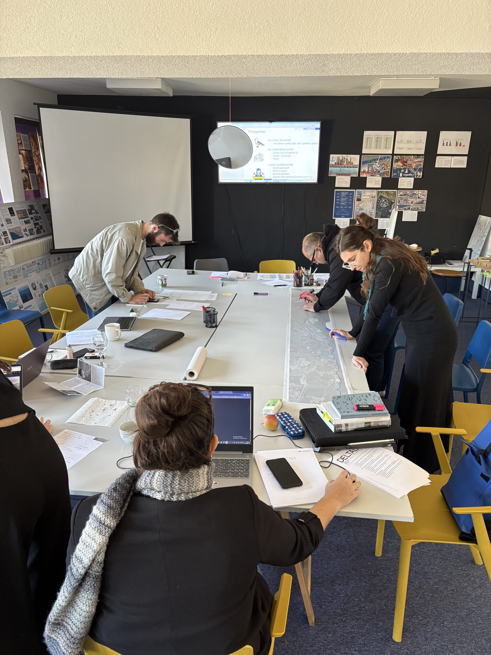
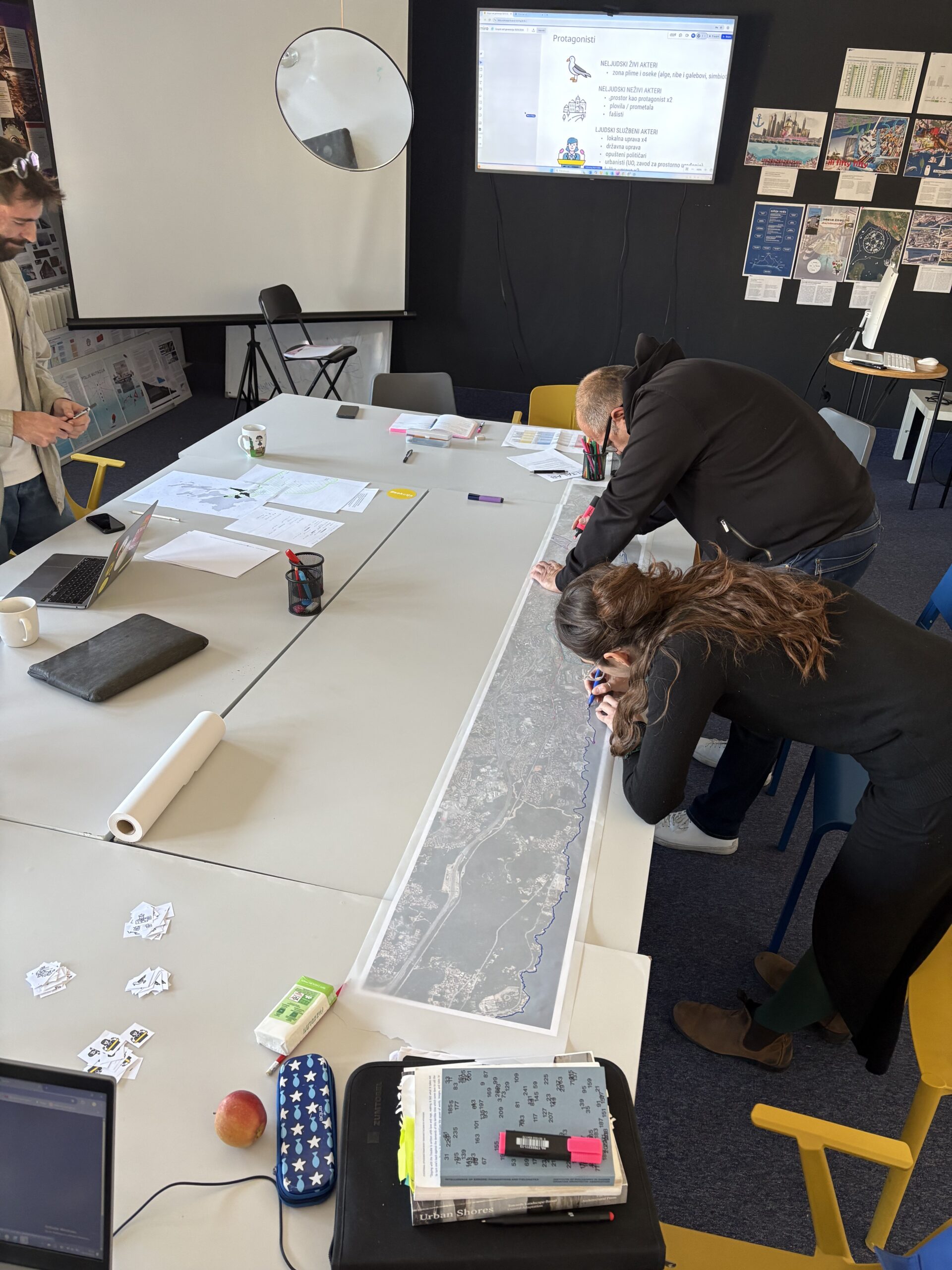
assignment steps
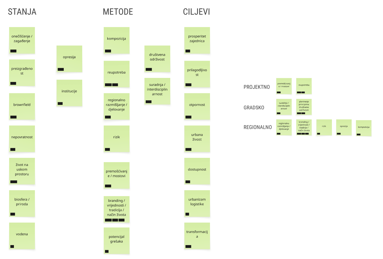
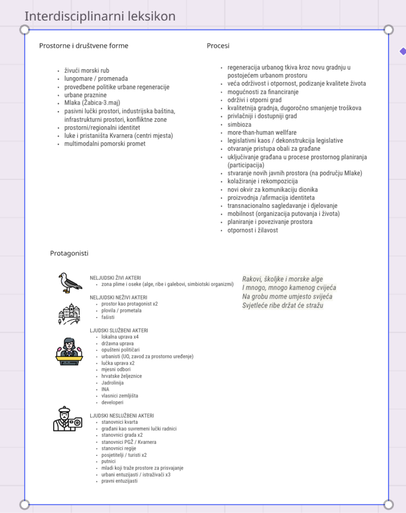
1. INTERDISCIPLINARY LEXICON
(45 minutes preparation, 15 minutes discussion)
- This part of the task is carried out on a jointly prepared Miro board.
- Each student proposes three concepts closely related to their project. Each concept represents:
- One selected key spatial or social form addressed by the project.
- A process that is encouraged or abolished within space/society.
- The protagonists of the project — users, spatial actors, beings, etc. most affected by or most actively involved in the project.
- The protagonists will be marked with selected pictograms/visuals, printed, and later used as markers for the second phase of the task — mapping.
2. MAPPING
(1 hour preparation, 15 minutes discussion)
Map 1:
Marking on the map all zones addressed by the individual projects.
Map 2:
Marking the zones of influence of all individual projects and identifying different overlaps between projects and their impact within space.
- Through identifying overlaps, we will discuss the types of overlaps occurring:
- Are the overlaps connected to modifying existing or creating new spatial and social forms?
- Is collaboration possible within overlapping zones? What kinds of collaboration?
- Are there interferences within collaboration zones? Through which methods can these interferences be reconciled or avoided?
Map 3:
Marking zones of gravitation — different from zones of influence (the zone of influence expands outward from the intervention, while the zone of gravitation activates a wider area oriented toward the project itself).
- Which people/users/residents benefit from the project?
- Who might potentially be negatively affected by the project?
- Here we use the protagonists from the first task and place them onto the map.
- Once all protagonists are placed together, we will observe whether there are interferences between their desires and ambitions, and whether these interferences create obstacles to achieving their goals or increase their potential. What can these protagonists do together?
Map 4:
Planetary/global impact — which global processes and scales does my project refer to, and with which global flows do I connect or intentionally distance myself from? How does my project contribute to global space and society?
3. [ANTI] MANIFESTO
(45 minutes collective brainstorming, 15 minutes presentation)
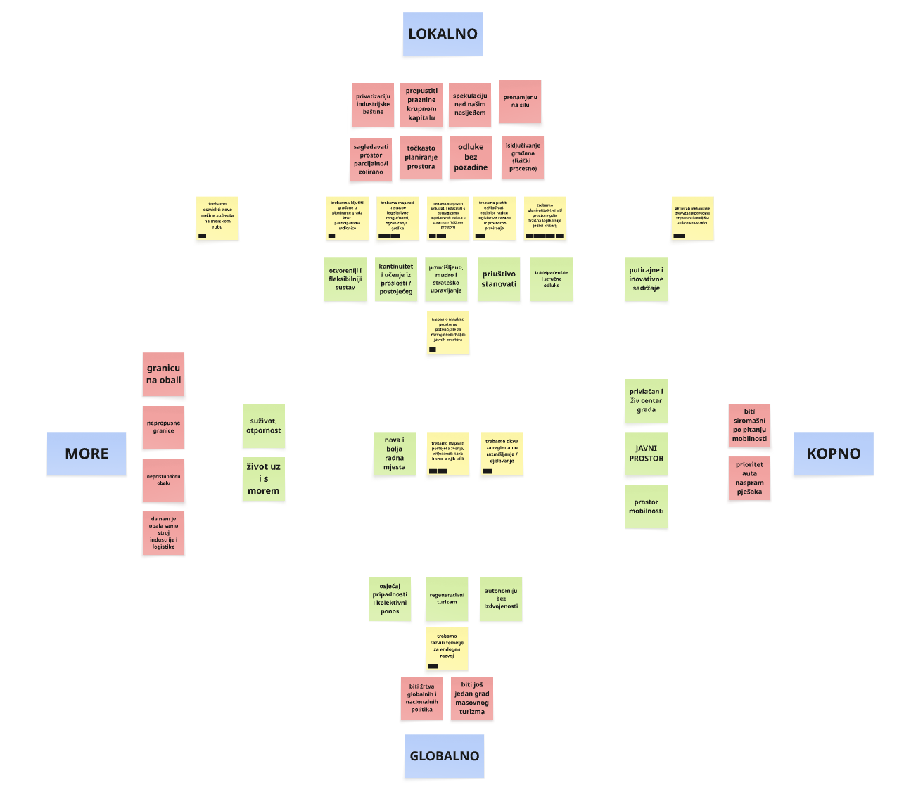
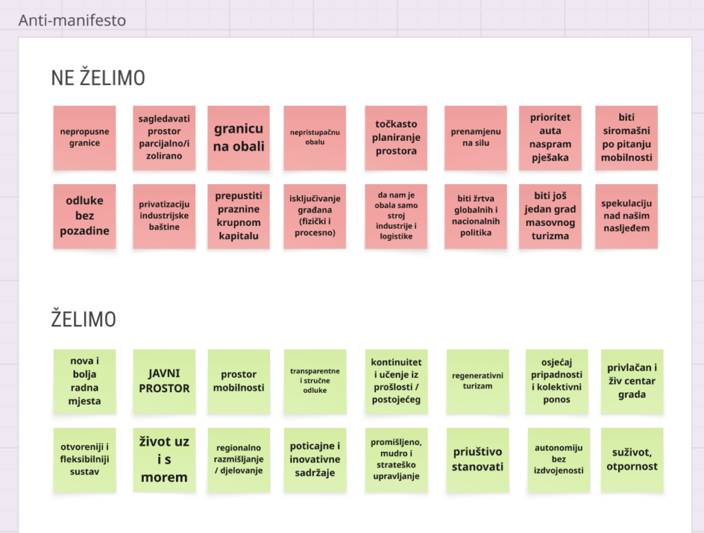
- In order to define collective goals more easily in the next step, the first step is creating a shared anti-manifesto in which the group clearly defines the spatial and social forms they reject and/or seek to remove from the wider space. The goal is to define shared values and a spatial/political position toward the wider area of Rijeka as the given site.
- Each student proposes one point for the anti-manifesto, which are then filtered, potentially merged, and refined through discussion into a final list.
- The final list is displayed as a print alongside the collective map.
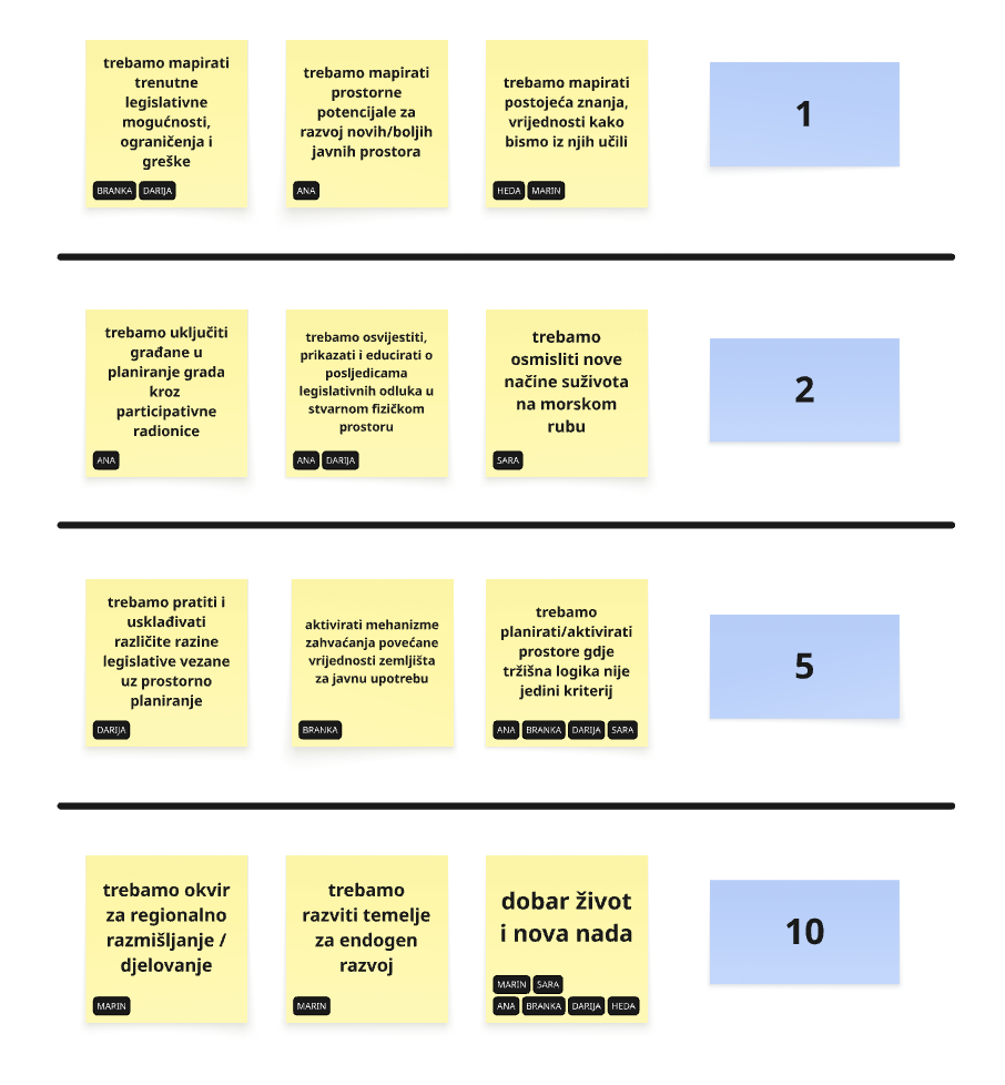
4. SPECULATIVE ACTION PLAN
(1 hour collective brainstorming)
- Based on the anti-manifesto, we define the collective goals of the project and connect them to the social and spatial interventions proposed by the projects that enable their realization. This is done through a graph on the Miro board with clear visual connections.
- Rijeka through time: What kind of Rijeka and surrounding area is created through the overlap of the projects? What are the five key spatial and social values that the realization of these projects would enable? Organize these values according to the ease of their realization — which can be achieved within 1, 5, 10, 20, and 50 years?
- How can we initiate the first achievable step, meaning what is possible within one year? What do we need to organize, do, who do we need to speak with, and to whom and in what way should we present the project?